 2 min
2 minShore nodes
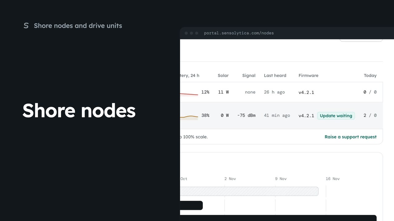
See every shore node, where it is and whether it is working, with the ones that need a visit first.
2 min5 stepsAdmin, Operator
See where every node and zone is, what is moving now, and today's passes at each place.
Nodes, zones and movers
Shore nodes, zones, drive units and AIS on one map. Now shows the figures.
Places, last 24 hours
Select a node under Places. The map moves to it and opens its figures.
Turn layers on and off
Tick or untick Shore nodes, Zones, Drive units and AIS.
From place to capture
Last capture opens the latest capture at that node. Open node opens the node.
Open Map from the sidebar. Your shore nodes, zones, drive units and AIS vessels are drawn on one map. The Now panel gives passes this hour, breaches today and how many units are underway. Everything updates every thirty seconds.
Places lists each node with its zone, and its passes and breaches over the last day. Select the approach node. The map moves to it and opens a card with the last hour, today and the last capture.
Use the layer boxes to declutter. Untick AIS to hide the public feed, then tick it again. Drive unit positions older than fifteen minutes are drawn as old, with their age.
From the card, Last capture opens the newest capture at that node, and Open node takes you to the node itself.
Sign in with your work email. Your own organisation's records, nodes and units take the place of the Westmouth ones.
2 minSee every shore node, where it is and whether it is working, with the ones that need a visit first.
2 min5 stepsAdmin, Operator
 2 min
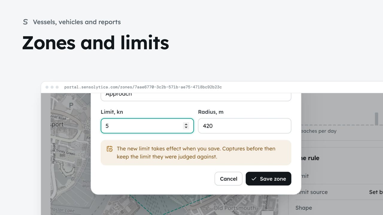
2 minSee where each limit applies and how each zone keeps to it, and change a limit with when it takes effect.
2 min6 stepsAdmin, Operator
 2 min
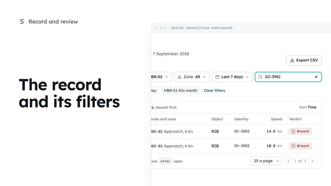
2 minFind any capture on the record by verdict, node, date or registration, and share the view as a link.
2 min6 stepsOperator, Admin
Checked against the portal on 15 October 2026. Westmouth names, vessels, units and figures are illustrative. General guidance on using the portal, not legal, regulatory or financial advice.