Shore node SN-1
Measures every passing vessel.
A solar powered unit for harbour walls, posts and roadsides. Radar for speed, a camera for class, identity and images, GPS for time and place. Every pass lands in the record, sealed.
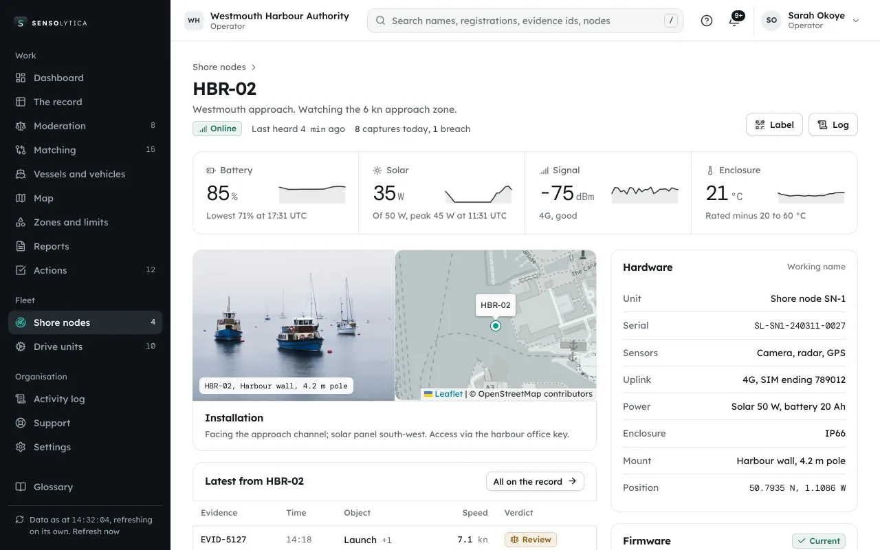
Drawn, indicative; working name. Portal with a demo organisation, data illustrative.
Speed: Radar
Class: Camera
Identity: Camera
Images: Camera and GPS time
Four readings from one pass.
Speed
Radar measures the true speed of each pass, in knots on water and miles per hour on the road.
Sensor: Radar
Class
What passed: motor cruiser, RIB, yacht, workboat; car, van, lorry.
Sensor: Camera
Identity
Name, registration or plate where it can be read, matched to one record.
Sensor: Camera
Images
A short sequence of frames, sealed with the reading as evidence.
Sensor: Camera and GPS time
A view across the harbour.
Moorings, working vessels and marina berths. Harbour photographs from our design library.
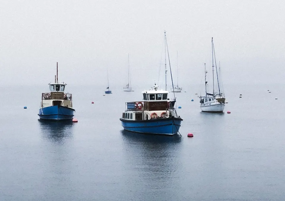
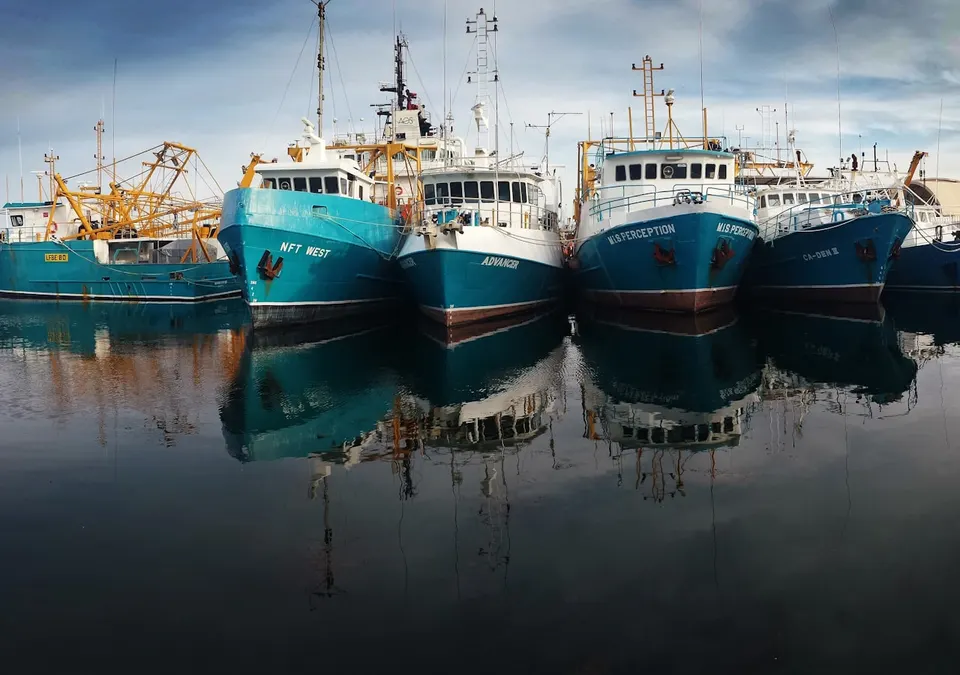
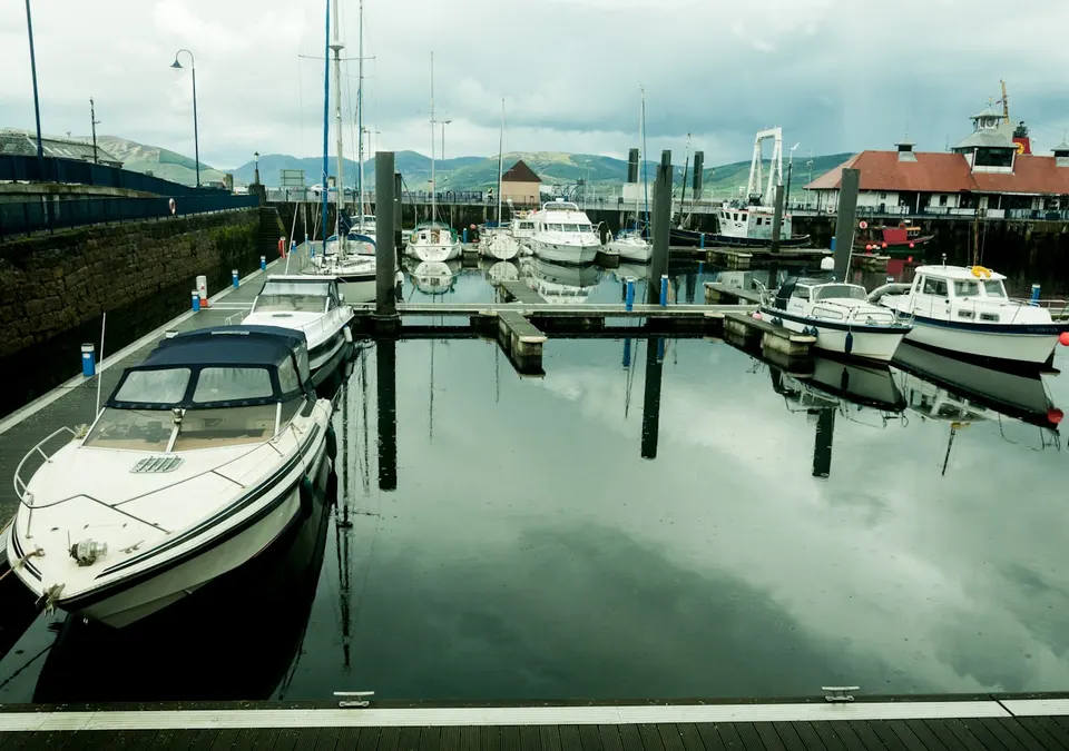
Illustrative reading: HBR-02 at the fictional Westmouth approach, in a 6 knot zone. The photographs above are not captures of this reading.
Up in a morning.
No mains, no trenching, no road closure. One survey visit and one fitting visit.
Survey
We look at the wall or post, the line of sight and the 4G signal. One visit.
Mount
Clamped to a post or bracketed to a wall. No mains, no trenching.
Set the zone
Draw the zone and the limit in the portal. The node starts measuring.
Check
The first readings land sealed. We check them with you before you rely on them.
- Placement
- Harbour walls, posts and roadsides
- Sensors
- Camera, radar, GPS
- Measures
- Speed, class, identity, images
- Power
- Solar 50 W, battery 20 Ah, no mains
- Protection
- IP66
- Uplink
- 4G, readings held on the unit when offline
- Sealing
- SHA-256 per capture, signed on the unit, chained
Put a node on your approach.
Thirty minutes with an engineer: your units, your sites, and a sealed record from start to finish.