Highways and councils
Measured at the roadside, sealed for the record.
The same shore node, on a post by the road. Speeds, classes and counts for a scheme, a consultation or a complaint, with a record nobody can quietly change.
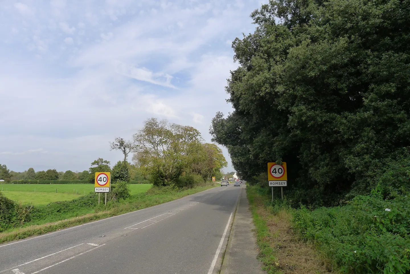
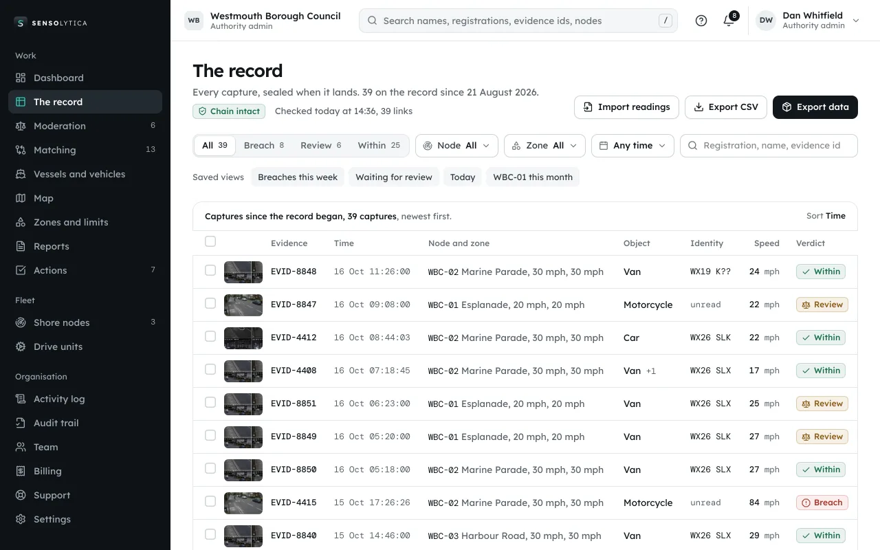
Photo: Tim Heaton, CC BY-SA 2.0. Resized and cropped. Portal with a demo organisation, data illustrative.

What a node measures on a road.
Speed
Radar speed of each vehicle, in miles per hour, against the limit you set.
Class
Car, van, lorry, bus, motorcycle, bicycle.
Counts
Vehicles per hour and per day, by class and by direction.
Images
A short sequence per vehicle, sealed, held only as long as you set.
Evidence for a scheme.
Median speed by hour on Mill Lane, a 30 mph road, over one week. Fastest overnight, slowest at the school run. Illustrative.
Median speed by hour, mph
IllustrativeFor procurement.
- Solar powered: no mains connection or road closure to fit
- Access limited to the council, every view logged
- Retention set by the council, images deleted automatically
- A data protection impact assessment template, for review
- Reports exported as CSV and PDF for consultations
Measure the road before you change it.
Thirty minutes with an engineer: your units, your sites, and a sealed record from start to finish.